Generel
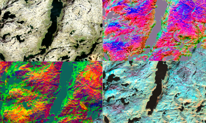
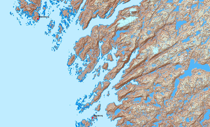
Remote Sensing Department in Asiaq works with satellite-based observations and mapping of non-urban areas in Greenland. Remote sensing is an effective mapping and analysis method, which is used to a greater extent.
”Our work is research-based which includes different research projects within remote sensing. Though our research activities, we acquire and develop newest knowledge and working methods. This allows us to provide topographic maps and perform spatial analysis of regional scales in Greenland.