Our remote sensing services are requested for topographic mapping and spatial analysis in fields such as raw material exploration, physical planning, environmental services and public administration. Asiaq’s services are developed and quality assured continuously through the interaction with Asiaq’s other services and research projects.
Services from Asiaq
Topographic mapping and spatial analysis
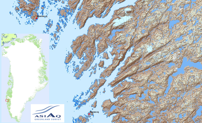
Surveying and mapping of the non-urban areas of Greenland is, in most areas, outdated, inaccurate and with a low degree of detail. Asiaq works with a range of remote sensing methods and the latest satellite data to update and increase the degree of detail, thus improving the existing data base.
Services
Services related to topographic mapping and spatial analyses are used to advise the Greenlandic Government, municipalities and private actors, and include;
Topographic mapping
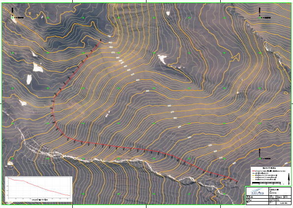
- Terrain models with contours and 3D visualization
- Coastline delineation
- Glacier/ice sheet location and determination of extent
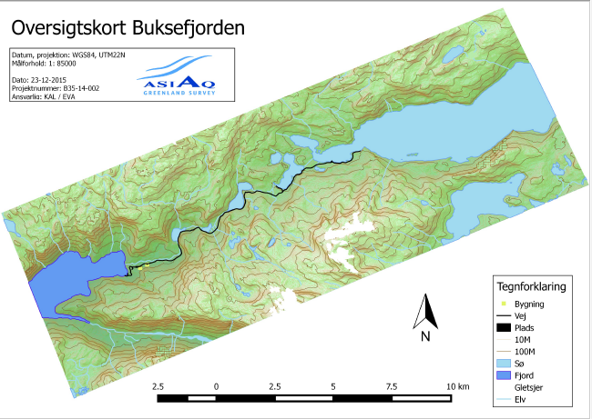
- River and drainage basin modelling
- Mapping of lakes
- Holiday cabin mapping
- Airport approach maps
Spatial analysis
- Coastal characterisation
- Change analyses
- Planning of ATV tracks
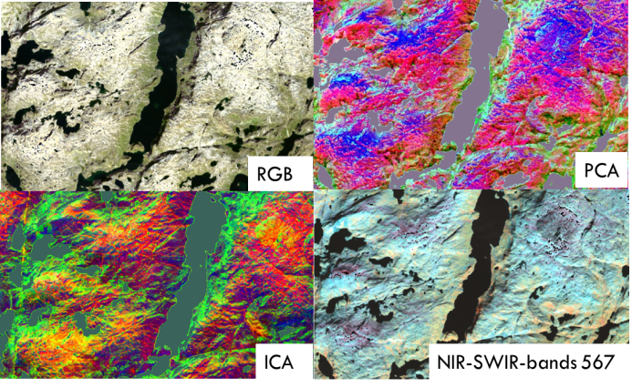
- Preliminary geological classification
- Viewshed analyses