Remote sensing
ESA AALM4INFRAM Permafrost
Permafrost
Region:
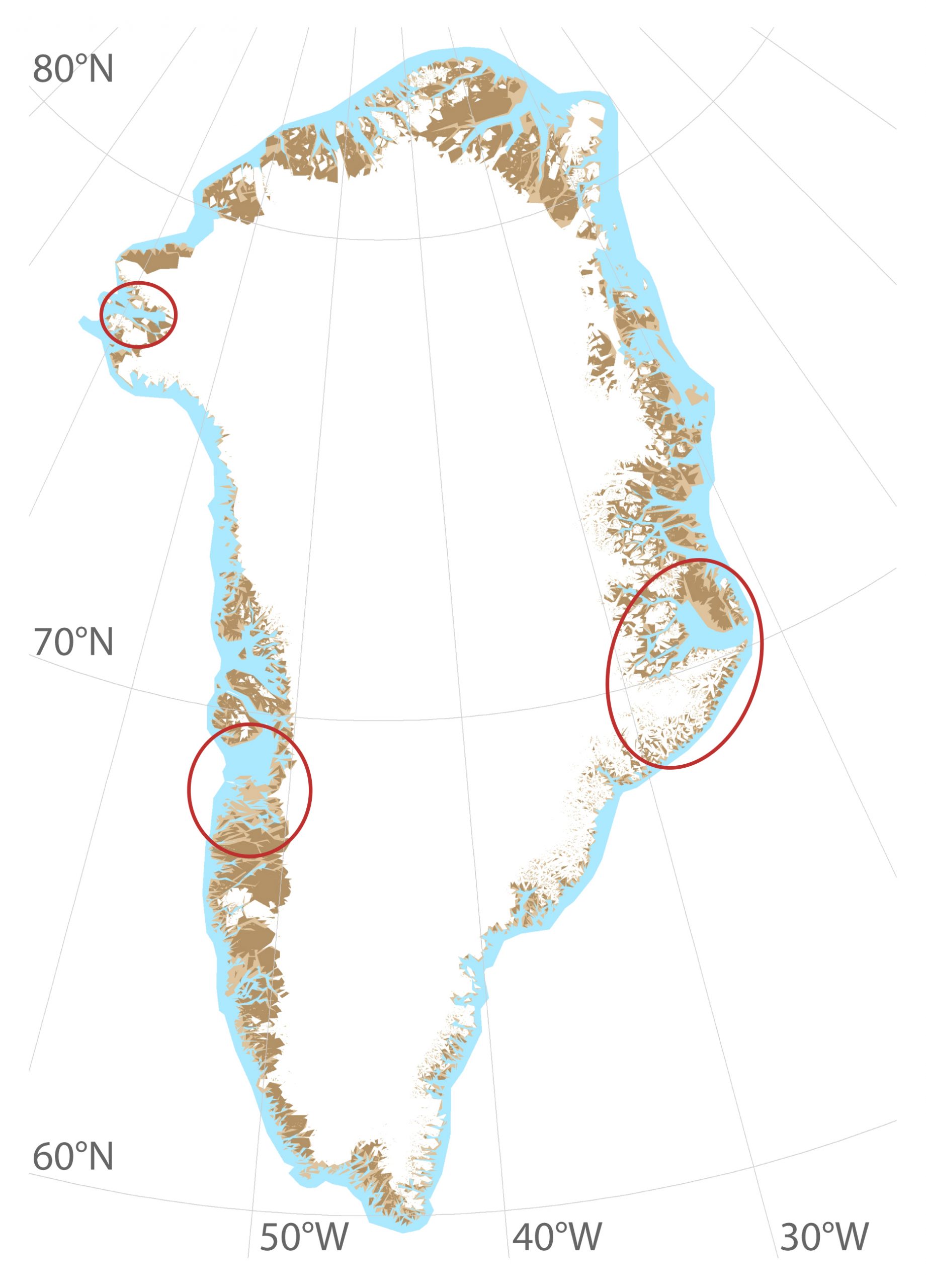
Greenland
Start, year:
2019
End, year:
2020
Financing:
ESA
Project partners:
GAMMA Remote Sensing, Schweiz
DTU, Technical University of Denmark
Contact
Remote Sensing, Asiaq
Our warming climate is causing fundamental changes in the Arctic, posing a risk to infrastructure and sustainable development in the towns and settlements of Greenland. Rising ground temperatures can lead to permafrost thawing, which causes enhanced ground movement and reduced bearing capacity. In Greenland, permafrost is a challenging factor infrastructure and future development, and it is likely that permafrost degradation will continue to change and even accelerate in this century.
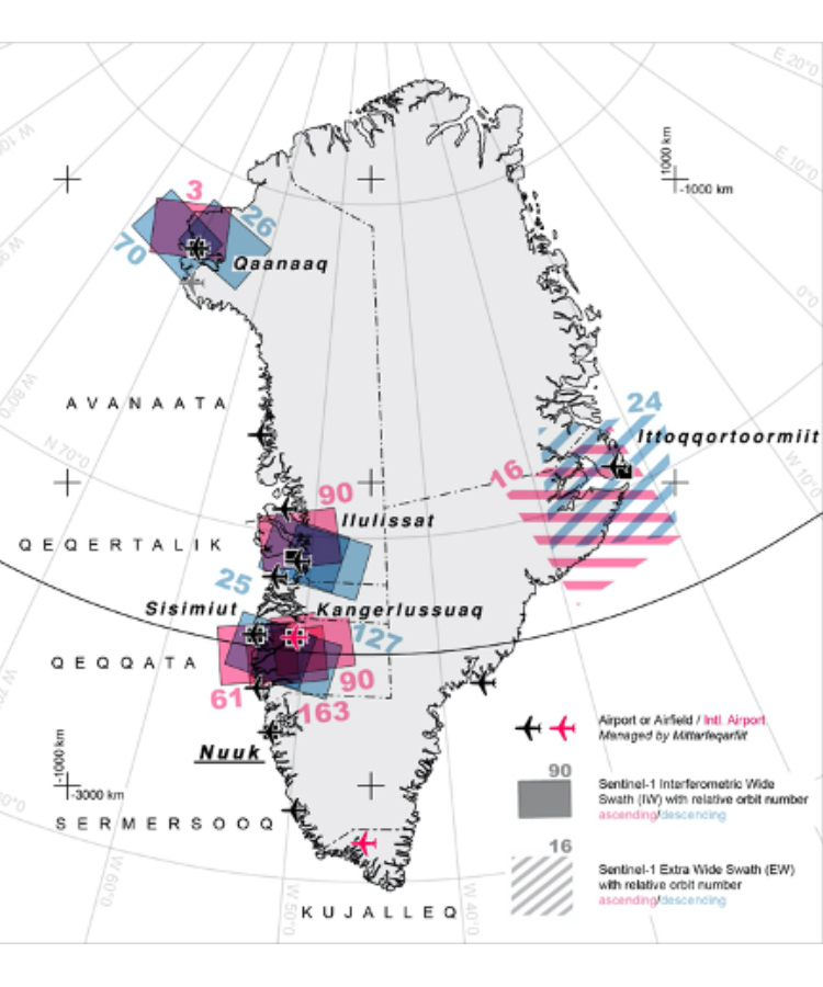
In this project satellite-based remote sensing is used for monitoring large-scale permafrost movement, along with geotechnical field surveys and GIS for in-situ measurements and data visualisation, respectively. Frost susceptibility, frost heave movement, Active Layer Thickness and degradation maps will be produced for six settlements in Greenland – Ilulissat, Ittoqqortoormiit, Kangerlussuaq, Qaanaaq, and Sisimiut.
To shape the investigation and output products from this project, Asiaq co-coordinated a stakeholder workshop in Nuuk in December 2019. Stakeholders were invited whose activities are affected directly by permafrost thawing and would benefit from knowledge exchange, including representatives from the Government of Greenland and municipalities, architecture and engineering companies, and utility company of Greenland. Within this workshop, discussions were held regarding experiences and challenges with building on permafrost in Greenland, with a focus on exploring how the public sector, the research community and businesses in Greenland can work together to improve adaptability to permafrost thawing. From this, specifications were determined for the maps that will be produced within this project.
Stakeholder dialogue will continue throughout the project and end products will be freely available.